THE PROBLEM
Critical context is scattered.
Geoscience fieldwork combines maps, measurements, stratigraphy, imagery and notes that can become separated from their original location and context after a field day.


Put geologic mapping, slope conditions, remote sensing, and field evidence into a common terrain-aware workspace.
 Geology & mappingGEOLOGIC FIELD CONTEXTRepresentative field imagery · TerraSatch domain context
Geoscience fieldwork combines maps, measurements, stratigraphy, imagery and notes that can become separated from their original location and context after a field day.
Preserve geological evidence and its spatial provenance so teams can reason across field observations while keeping interpretation and sign-off with domain experts.
Early code prototypeA focused domain module on the shared TerraSatch platform. Satchy connects information, people, and reviewable actions.
Organize mapped units, contacts, structures and supported GIS formats.
PrototypeMaintain observations, images and provenance tied to coordinates.
PrototypeAdd DEM, remote-sensing and relevant geomorphic context.
PrototypeCollect field measurements and descriptions without replacing site interpretation.
PlannedAssociate samples and optional SEM/XRD/other results with field records.
Research directionCompile source-aware summaries for a licensed or qualified reviewer.
PlannedPut geologic mapping, slope conditions, remote sensing, and field evidence into a common terrain-aware workspace.
Bring real-world sources into shared views while retaining where each observation came from, when it was recorded, and whether it has been reviewed.
Example workflows illustrate the intended field experience. They are not live incident views or autonomous decision systems.
A geologist records lithology, structures, photos and station notes at each mapped location.
A technical team checks observations alongside terrain and mapping sources before follow-up work.
Students and staff export a traceable summary of sources, open questions and review status.
Explore the same device → Satchy phone → observation workflow used in the TerraSatch main showcase, tailored to GeoTS. Choose a source, follow the staged example, and generate a downloadable sample report.
01 / CAPTURE · DEVICES
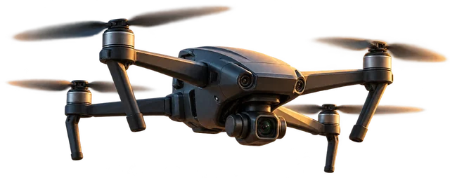
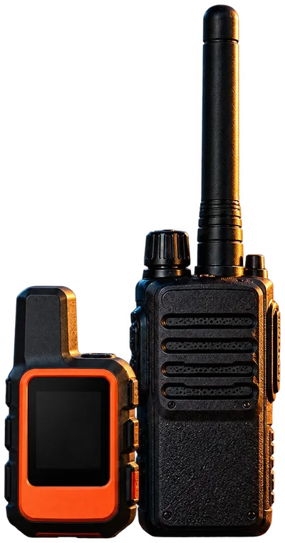
02 / CONNECT · SATCHY PHONE
Satchy Assistant · GeoTSGeology field observationSample message · 9:41 AM
Location-linked image · representative contextA field mapper reported fresh debris at a road cut. The example record preserves the statement with slope imagery, geological context and a field location requiring verification. It is not a slope-stability assessment.
Location: Traverse 12 · East road cut · mapped position approximate
Reviewer: Geologist / geotechnical reviewer
TerraSatchField observation / SAMPLESource-linked draft · human approval required
Draft for review
Example only · No real observation published
Interactive, client-side sample modeled on the production TerraSatch device-to-report flow. Hardware pictures are illustrative. No SMS, radio traffic, drone mission, satellite connection or API request is sent; generated reports remain on your device. Operational review always stays with authorized humans.
Satchy is the shared intelligence and coordination assistant across TerraSatch. It organizes field reports, connects context, drafts operational information, and leaves consequential decisions with people.
Add a location-linked field observation, image, or geologic note.
Satchy shifts to geoscience terminology, distinguishes observed rock and structure descriptions from hypotheses, tracks location uncertainty and asks a geologist or engineer to validate interpreted hazards.
Not a geotechnical design calculation or substitute for licensed geology/engineering review.
Voice, radio, phone, photos and field records become attributable inputs where integrations are available.
Spatial context and domain vocabulary help Satchy assemble sourced, reviewable summaries.
Track provenance and route consequential next steps to authorized people before action.
Designed around actual terrain, observations, and the complexity of coordinating people outside the office.
Less admin. More field time. Start with a focused conversation about your team.